2011
SK2649 : Public Footpath near The Mountain
taken 13 years ago, near to Kirk Ireton, Derbyshire, England
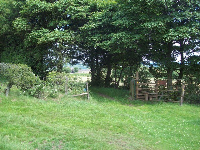
Public Footpath near The Mountain
The Mountain is actually a quarried, gorse-covered sandstone hill to the south of Kirk Ireton. There's no public access to the trig pillar but this footpath passes close by.
 Map © Crown Copyright")
TIP: Click the map for more Large scale mapping
- Grid Square
- SK2649, 13 images (more nearby 🔍)
- Photographer
- Jonathan Clitheroe (more nearby)
- Date Taken
- Saturday, 2 July, 2011 (more nearby)
- Submitted
- Monday, 4 July, 2011
- Subject Location
-
OSGB36:
 SK 2688 4918 [10m precision]
WGS84: 53:2.3534N 1:36.0338W - Camera Location
-
OSGB36: SK 2687 4919
- View Direction
- East-southeast (about 112 degrees)