2011
TQ2352 : Below Conybury Hill
taken 13 years ago, near to Buckland, Surrey, England
This is 1 of 5 images, with title Below Conybury Hill in this square
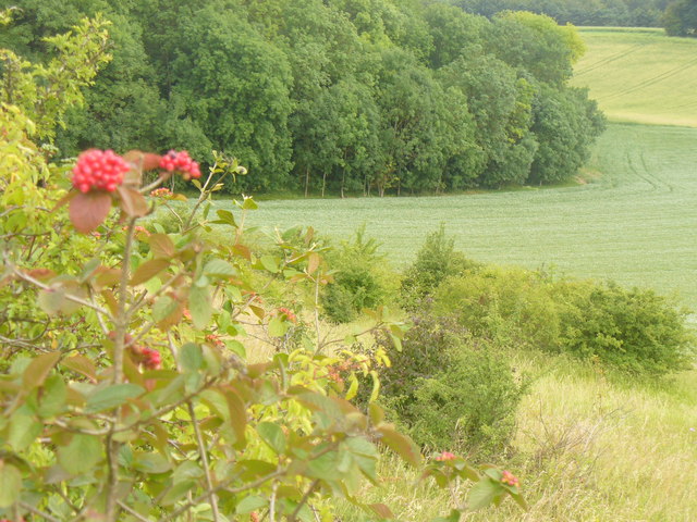
Below Conybury Hill
At the foot of the North Downs where the wooded scarp slope meets the cultivated Weald by Buckland.
Link
Link
 Map © Crown Copyright")
TIP: Click the map for more Large scale mapping
- Grid Square
- TQ2352, 124 images (more nearby 🔍)
- Photographer
- Colin Smith (more nearby)
- Date Taken
- Sunday, 10 July, 2011 (more nearby)
- Submitted
- Tuesday, 12 July, 2011
- Subject Location
-
OSGB36:
 TQ 2346 5209 [10m precision]
WGS84: 51:15.2772N 0:13.9334W - Camera Location
-
OSGB36: TQ 2331 5221
- View Direction
- Southeast (about 135 degrees)