2011
TQ2152 : North Downs way at Dawcombe Wood
taken 13 years ago, near to Buckland, Surrey, England
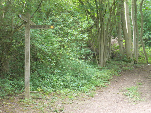
North Downs way at Dawcombe Wood
Right-angled path corner at the edge of deciduous Dawcombe Wood at the foot of the scarp slope.
Link
Link
 Map © Crown Copyright")
TIP: Click the map for more Large scale mapping
- Grid Square
- TQ2152, 42 images (more nearby 🔍)
- Photographer
- Colin Smith (more nearby)
- Date Taken
- Sunday, 10 July, 2011 (more nearby)
- Submitted
- Tuesday, 12 July, 2011
- Subject Location
-
OSGB36:
 TQ 2179 5238 [10m precision]
WGS84: 51:15.4551N 0:15.3626W - Camera Location
-
OSGB36: TQ 2179 5238
- View Direction
- Northeast (about 45 degrees)