2011
SY0384 : Squabmoor Reservoir
taken 13 years ago, near to Knowle, Devon, England
This is 1 of 4 images, with title Squabmoor Reservoir in this square
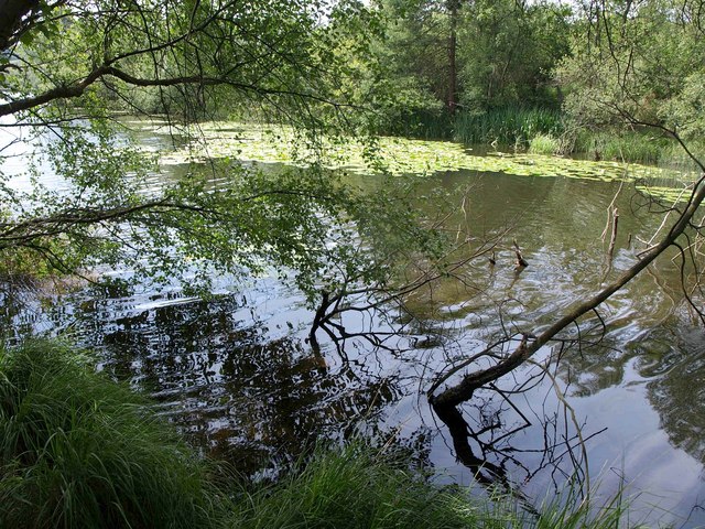
Squabmoor Reservoir
As pointed out at SY0483 : Squabmoor reservoir, the reservoir is divided (fairly equally) between four squares. This view, from East Budleigh Footpath 6, is very close to the pointy northern end. Good fishing, apparently.
 Map © Crown Copyright")
TIP: Click the map for more Large scale mapping
- Grid Square
- SY0384, 59 images (more nearby 🔍)
- Photographer
- Derek Harper (more nearby)
- Date Taken
- Monday, 11 July, 2011 (more nearby)
- Submitted
- Wednesday, 13 July, 2011
- Subject Location
-
OSGB36:
 SY 039 841 [100m precision]
WGS84: 50:38.9178N 3:21.6387W - Camera Location
-
OSGB36: SY 0397 8420
- View Direction
- South-southwest (about 202 degrees)