2011
TM4363 : Footpath to Buckleswood Road & entrance to Fisher's Farm
taken 13 years ago, near to Leiston, Suffolk, England
This is 1 of 2 images, with title Footpath to Buckleswood Road & entrance to Fisher's Farm in this square
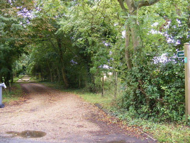
Footpath to Buckleswood Road & entrance to Fisher's Farm
Off Abbey Lane (U2406)
Leiston footpath No.3
Leiston footpath No.3
 Map © Crown Copyright")
TIP: Click the map for more Large scale mapping
- Grid Square
- TM4363, 32 images (more nearby 🔍)
- Photographer
- Geographer (more nearby)
- Date Taken
- Thursday, 14 July, 2011 (more nearby)
- Submitted
- Sunday, 17 July, 2011
- Subject Location
-
OSGB36:
 TM 4337 6374 [10m precision]
WGS84: 52:13.0841N 1:33.6863E - Camera Location
-
OSGB36: TM 4337 6374
- View Direction
- East-southeast (about 112 degrees)