2011
TQ2877 : View of River Thames from Chelsea Bridge
taken 13 years ago, near to Chelsea, Kensington And Chelsea, England
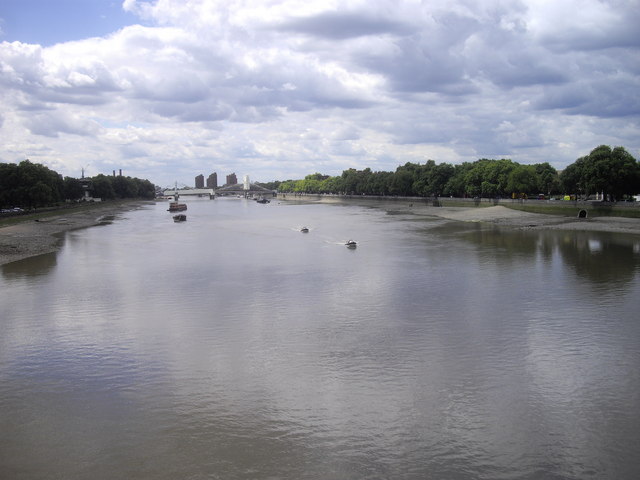
View of River Thames from Chelsea Bridge
View taken looking west
River Thames
The River Thames rises at Thames Head in Gloucestershire on the slopes of the Cotswolds and flows generally eastward to its mouth near Southend in Essex. At 215 miles long it is one of the longest rivers in Britain, and the longest entirely within England. It is one of the most important rivers in Britain. Link

 Map © Crown Copyright")
TIP: Click the map for more Large scale mapping
- Grid Square
- TQ2877, 1020 images (more nearby 🔍)
- Photographer
- PAUL FARMER (more nearby)
- Date Taken
- Friday, 22 July, 2011 (more nearby)
- Submitted
- Friday, 22 July, 2011
- Subject Location
-
OSGB36:
 TQ 2830 7773 [10m precision]
WGS84: 51:29.0387N 0:9.2195W - Camera Location
-
OSGB36: TQ 2856 7780
- View Direction
- West-southwest (about 247 degrees)