2006
SU6513 : Flooded road, south of Hambledon
taken 18 years ago, near to Anthill Common, Hampshire, England
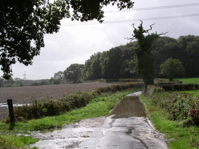
Flooded road, south of Hambledon
This was photographed on a day of squally showers, some very heavy, interspersed with brief sunny spells. A typical April day - in October!
 Map © Crown Copyright")
TIP: Click the map for more Large scale mapping
- Grid Square
- SU6513, 28 images (more nearby 🔍)
- Photographer
- Chris Henley (more nearby)
- Date Taken
- Sunday, 1 October, 2006 (more nearby)
- Submitted
- Sunday, 1 October, 2006
- Subject Location
-
OSGB36:
 SU 651 136 [100m precision]
WGS84: 50:55.0919N 1:4.5159W - Camera Location
-
OSGB36: SU 651 138
- View Direction
- SOUTH (about 180 degrees)