2011
SD7905 : Ringley Road, Whitefield
taken 13 years ago, near to Whitefield, Bury, England
This is 1 of 4 images, with title starting with Ringley Road in this square
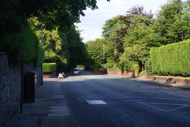
Ringley Road, Whitefield
There are some very large houses on this road. The area is traditionally occupied by the wealthiest from Manchester's Jewish community, though I'm sure it is not now so distinctive.
 Map © Crown Copyright")
TIP: Click the map for more Large scale mapping
- Grid Square
- SD7905, 32 images (more nearby 🔍)
- Photographer
- Bill Boaden (more nearby)
- Date Taken
- Tuesday, 26 July, 2011 (more nearby)
- Submitted
- Wednesday, 27 July, 2011
- Subject Location
-
OSGB36:
 SD 7979 0570 [10m precision]
WGS84: 53:32.8525N 2:18.3888W - Camera Location
-
OSGB36: SD 7975 0567
- View Direction
- East-northeast (about 67 degrees)