2011
J4776 : The Crawfordsburn Road, Newtownards
taken 13 years ago, 3 km from Conlig, Co Down, Northern Ireland
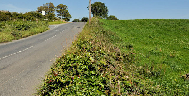
The Crawfordsburn Road, Newtownards
The Crawfordsburn Road J4777 : The Crawfordsburn Road, Clandeboye (2), further south and now much narrower, seen from the corner of the Mountain Road J4776 : The Mountain Road, Newtownards (1). Continue to J4875 : The Crawfordsburn Road, Newtownards (2).
Loading map... (JavaScript required)
- Grid Square
- J4776, 9 images (more nearby 🔍)
- Photographer
- Albert Bridge (more nearby)
- Date Taken
- Wednesday, 27 July, 2011 (more nearby)
- Submitted
- Wednesday, 27 July, 2011
- Subject Location
-
Irish:
 J 478 766 [100m precision]
WGS84: 54:36.9677N 5:42.7235W - Camera Location
-
Irish: J 478 765
- View Direction
- North-northwest (about 337 degrees)