2011
SS9403 : Fields near Jennys Portion
taken 13 years ago, near to Up Exe, Devon, England
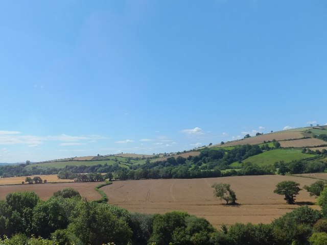
Fields near Jennys Portion
Presumably there is some natural feature to account for the way that the hedge wanders in a serpentine way. The river Exe is just beyond, so maybe there is a stream at the hedge base.
 Map © Crown Copyright")
TIP: Click the map for more Large scale mapping
- Grid Square
- SS9403, 22 images (more nearby 🔍)
- Photographer
- David Smith (more nearby)
- Date Taken
- Tuesday, 26 July, 2011 (more nearby)
- Submitted
- Wednesday, 27 July, 2011
- Subject Location
-
OSGB36:
 SS 9432 0328 [10m precision]
WGS84: 50:49.1634N 3:30.0964W - Camera Location
-
OSGB36: SS 9463 0340
- View Direction
- West-southwest (about 247 degrees)