2011
TG0724 : All User Path to Themelthorpe
taken 13 years ago, near to Themelthorpe, Norfolk, England
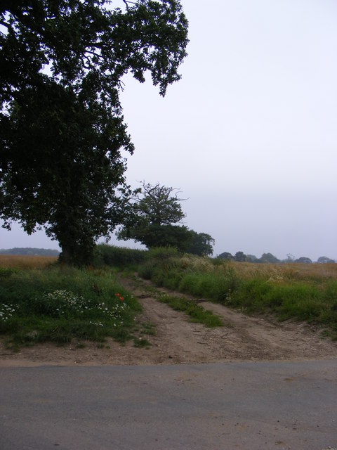
All User Path to Themelthorpe
Off Forwater Road
As defined by the Norfolk County Council Definitive Map
As defined by the Norfolk County Council Definitive Map
 Map © Crown Copyright")
TIP: Click the map for more Large scale mapping
- Grid Square
- TG0724, 18 images (more nearby 🔍)
- Photographer
- Geographer (more nearby)
- Date Taken
- Wednesday, 27 July, 2011 (more nearby)
- Submitted
- Thursday, 28 July, 2011
- Subject Location
-
OSGB36:
 TG 0755 2454 [10m precision]
WGS84: 52:46.7117N 1:4.5485E - Camera Location
-
OSGB36: TG 0755 2454
- View Direction
- WEST (about 270 degrees)