2011
TQ4769 : Weir on the River Cray
taken 13 years ago, near to St Paul's Cray, Bromley, England
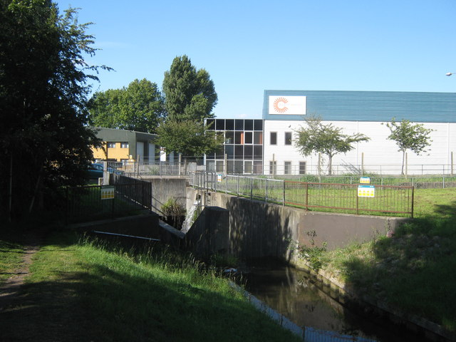
Weir on the River Cray
This weir is before the river passes under Main Road.
River Cray
This river flows from near Orpington, to St Mary's Cray and then Crayford, where it joins the River Darent to head towards the River Thames.
See Linkfor more details about the river.
 Map © Crown Copyright")
TIP: Click the map for more Large scale mapping
- Grid Square
- TQ4769, 66 images (more nearby 🔍)
- Photographer
- David Anstiss (more nearby)
- Date Taken
- Sunday, 24 July, 2011 (more nearby)
- Submitted
- Friday, 29 July, 2011
- Subject Location
-
OSGB36:
 TQ 4730 6934 [10m precision]
WGS84: 51:24.2380N 0:6.9778E - Camera Location
-
OSGB36: TQ 4729 6932
- View Direction
- North-northeast (about 22 degrees)