2011

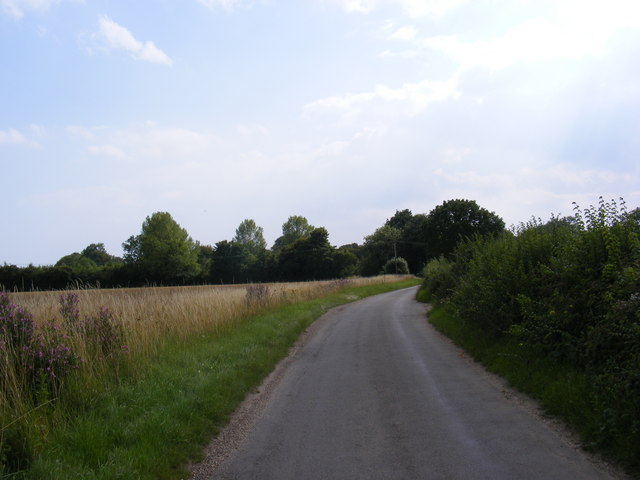
TM2451 : Boulge Road

taken 13 years ago, near to Burgh, Suffolk, England

This is 1 of 3 images, with title Boulge Road in this square
Boulge Road
Boulge Road
Near to the footpaths to Boulge Road & Whitehouse Farm

Creative Commons Licence [Some Rights Reserved]   © Copyright Geographer and licensed for reuse under this Creative Commons Licence.
Geographical Context: Roads, Road transport Near: Burgh Primary Subject: Path other tags: Boulge Road Whitehouse Farm Click a tag, to view other nearby images.
This photo is linked from: Automatic Clusters: · Footpath to Boulge Road [9] · Whitehouse Farm [7] Title Clusters: · Boulge Road [3] ·
1:50,000 Modern Day Landranger(TM) Map © Crown Copyright
+
1:50,000 Modern Day Landranger(TM) Map © Crown Copyright
TIP: Click the map for more Large scale mapping
Grid Square
TM2451, 75 images   (more nearby 🔍)
Photographer
Geographer   (more nearby)
Date Taken
Thursday, 28 July, 2011   (more nearby)
Submitted
Sunday, 31 July, 2011
Subject Location
OSGB36: geotagged! TM 2427 5182 [10m precision]
WGS84: 52:7.1507N 1:16.4680E
Camera Location
OSGB36: geotagged! TM 2427 5182
View Direction
South-southwest (about 202 degrees)
Clickable map
+
NW N NE
W Go E
SW S SE
Image classification(about): Geograph
This page has been viewed about 14 times
You are not logged in login | register