2011
J2869 : Creighton Road, Dunmurry (1)
taken 13 years ago, near to Dunmurry, Co Antrim, Northern Ireland
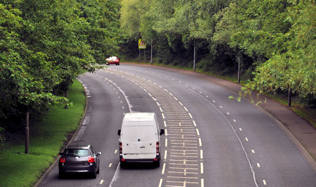
Creighton Road, Dunmurry (1)
Part of the Dunmurry bypass, Creighton Road runs from the McKinstry Road, Lambeg/Derriaghy J2767 : The McKinstry Road, Lambeg (1) to the Old Golf Course Road, Dunmurry J2969 : The Old Golf Course Road, Dunmurry. This view is towards Lambeg, from the flyover on Upper Dunmurry Lane.
The Dunmurry bypass
A road running from Blacks Road, north east of Dunmurry to Lambeg, north of Lisburn. Built in four stages between 1984 and 1992, it bypasses Dunmurry village and acts as a distributor road for Poleglass, Twinbrook and Suffolk.
Loading map... (JavaScript required)
- Grid Square
- J2869, 9 images (more nearby 🔍)
- Photographer
- Albert Bridge (more nearby)
- Date Taken
- Monday, 1 August, 2011 (more nearby)
- Submitted
- Monday, 1 August, 2011
- Subject Location
-
Irish:
 J 287 692 [100m precision]
WGS84: 54:33.3280N 6:0.6806W - Camera Location
-
Irish: J 288 693
- View Direction
- Southwest (about 225 degrees)