2011

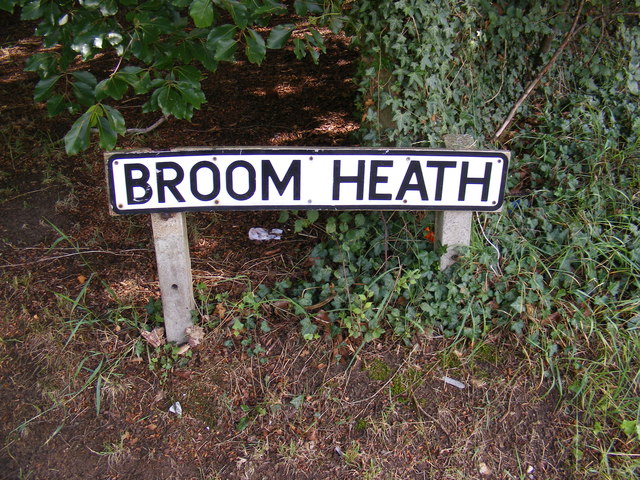
TM2648 : Broom Heath sign

taken 13 years ago, near to Martlesham, Suffolk, England

Broom Heath sign
Broom Heath sign
On Broom Heath at the junction with Sandy Lane

Creative Commons Licence [Some Rights Reserved]   © Copyright Geographer and licensed for reuse under this Creative Commons Licence.
Geographical Context: Roads, Road transport On: Broom Heath At: Woodbridge Near: Martlesham Primary Subject: Sign other tags: Road Name Sign Sandy Lane Click a tag, to view other nearby images.
This photo is linked from: Automatic Clusters: · Sandy Lane [21] · Broom Heath [2] ·
1:50,000 Modern Day Landranger(TM) Map © Crown Copyright
+
1:50,000 Modern Day Landranger(TM) Map © Crown Copyright
TIP: Click the map for more Large scale mapping
Grid Square
TM2648, 140 images   (more nearby 🔍)
Photographer
Geographer   (more nearby)
Date Taken
Friday, 5 August, 2011   (more nearby)
Submitted
Saturday, 6 August, 2011
Subject Location
OSGB36: geotagged! TM 26217 48117 [1m precision]
WGS84: 52:5.1090N 1:18.0239E
Camera Location
OSGB36: geotagged! TM 26217 48117
View Direction
SOUTH (about 180 degrees)
Clickable map
+
NW N NE
W Go E
SW S SE
Image classification(about): Supplemental image
This page has been viewed about 12 times
You are not logged in login | register