2011
TM1433 : River Bank Erosion
taken 13 years ago, near to Stutton, Suffolk, England
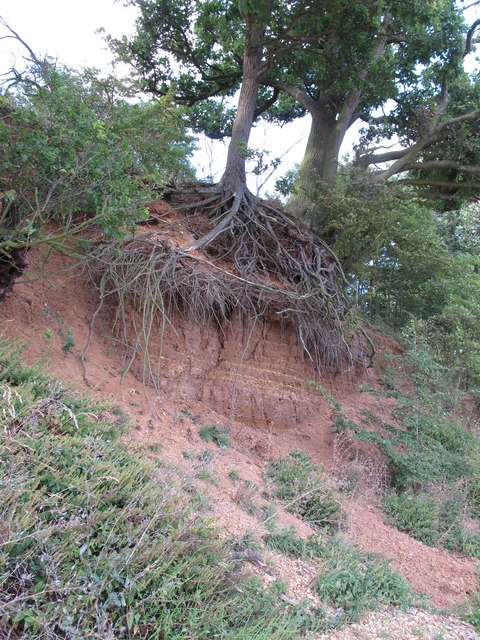
River Bank Erosion
Strata clearly visible under the roots of this tree, on north bank of this tidal part of the Stour.
 Map © Crown Copyright")
TIP: Click the map for more Large scale mapping
- Grid Square
- TM1433, 62 images (more nearby 🔍)
- Photographer
- Roger Jones (more nearby)
- Date Taken
- Monday, 8 August, 2011 (more nearby)
- Submitted
- Tuesday, 9 August, 2011
- Subject Location
-
OSGB36:
 TM 1428 3322 [10m precision]
WGS84: 51:57.3696N 1:7.0283E - Camera Location
-
OSGB36: TM 1428 3322
- View Direction
- NORTH (about 0 degrees)