2011
NS7896 : Bridge of Allan, playing fields
taken 13 years ago, near to Bridge of Allan, Stirling, Scotland
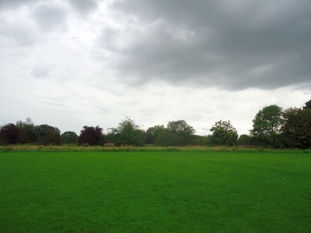
Bridge of Allan, playing fields
Situated between Cornton Road and the Allan.
 Map © Crown Copyright")
TIP: Click the map for more Large scale mapping
- Grid Square
- NS7896, 26 images (more nearby 🔍)
- Photographer
- Robert Murray (more nearby)
- Date Taken
- Saturday, 6 August, 2011 (more nearby)
- Submitted
- Tuesday, 9 August, 2011
- Subject Location
-
OSGB36:
 NS 7894 9674 [10m precision]
WGS84: 56:8.8763N 3:57.0112W - Camera Location
-
OSGB36: NS 7895 9686
- View Direction
- SOUTH (about 180 degrees)