2011
SD3189 : Lane to High Ickenthwaite
taken 13 years ago, near to Oxen Park, Cumbria, England
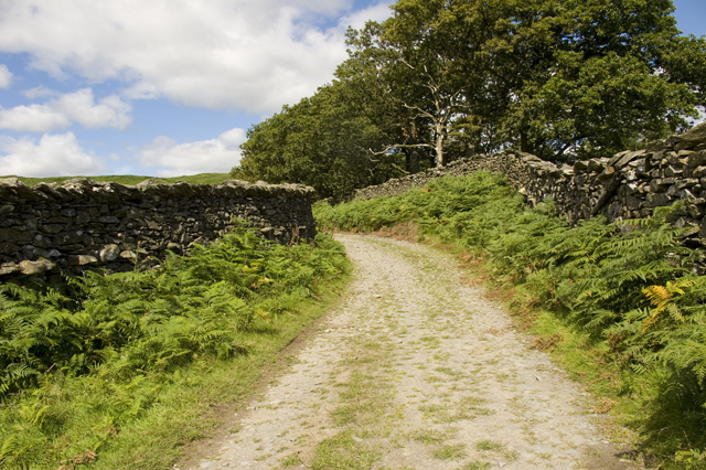
Lane to High Ickenthwaite
 Map © Crown Copyright")
TIP: Click the map for more Large scale mapping
- Grid Square
- SD3189, 11 images (more nearby 🔍)
- Photographer
- Tom Richardson (more nearby)
- Date Taken
- Tuesday, 9 August, 2011 (more nearby)
- Submitted
- Wednesday, 10 August, 2011
- Subject Location
-
OSGB36:
 SD 3197 8913 [10m precision]
WGS84: 54:17.5945N 3:2.8014W - Camera Location
-
OSGB36: SD 3196 8910
- View Direction
- NORTH (about 0 degrees)