2011
SU6792 : North Farm
taken 13 years ago, near to Britwell Salome, Oxfordshire, England
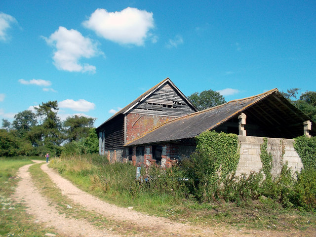
North Farm
One of those places half way between a bodge up and total collapse. Bits of it seem to be used for storing straw bales while other bits are full of junk and going to ruin.
 Map © Crown Copyright")
TIP: Click the map for more Large scale mapping
- Grid Square
- SU6792, 10 images (more nearby 🔍)
- Photographer
- Des Blenkinsopp (more nearby)
- Date Taken
- Tuesday, 9 August, 2011 (more nearby)
- Submitted
- Wednesday, 10 August, 2011
- Subject Location
-
OSGB36:
 SU 6780 9203 [10m precision]
WGS84: 51:37.3809N 1:1.3206W - Camera Location
-
OSGB36: SU 6778 9200
- View Direction
- North-northeast (about 22 degrees)