2011
NN4613 : Ground to the east of Meall Gaothach near Loch Katrine
taken 13 years ago, near to Meall Gaothach [hill or Mountain], Stirling, Great Britain
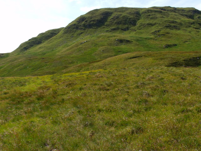
Ground to the east of Meall Gaothach near Loch Katrine
 Map © Crown Copyright")
TIP: Click the map for more Large scale mapping
- Grid Square
- NN4613, 10 images (more nearby 🔍)
- Photographer
- ian shiell (more nearby)
- Date Taken
- Tuesday, 9 August, 2011 (more nearby)
- Submitted
- Thursday, 11 August, 2011
- Subject Location
-
OSGB36:
 NN 4607 1319 [10m precision]
WGS84: 56:17.1669N 4:29.2992W - Camera Location
-
OSGB36: NN 4633 1311
- View Direction
- West-northwest (about 292 degrees)