2006
ST7271 : Freezing Hill
taken 18 years ago, near to Langridge, Bath And North East Somerset, England
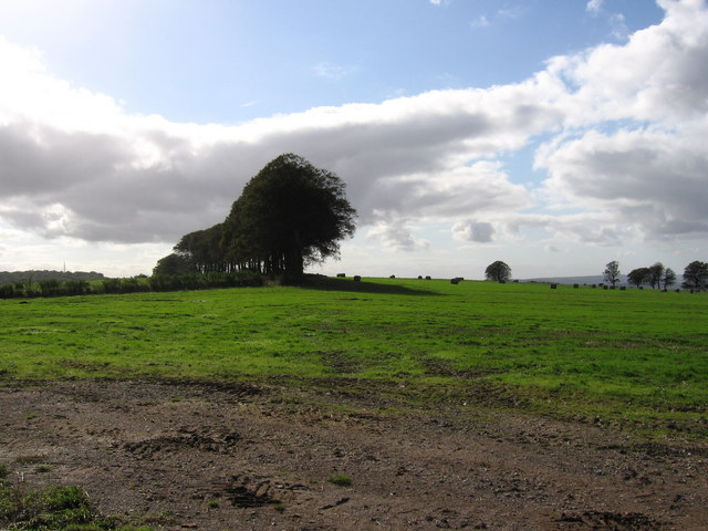
Freezing Hill
 Map © Crown Copyright")
TIP: Click the map for more Large scale mapping
- Grid Square
- ST7271, 14 images (more nearby 🔍)
- Photographer
- William Avery (more nearby)
- Date Taken
- Saturday, 7 October, 2006 (more nearby)
- Submitted
- Saturday, 7 October, 2006
- Subject Location
-
OSGB36:
 ST 724 714 [100m precision]
WGS84: 51:26.4549N 2:23.9092W - View Direction
- Southwest (about 225 degrees)