2011
SP7763 : Mayfield Road
taken 13 years ago, near to Billing, West Northamptonshire, England
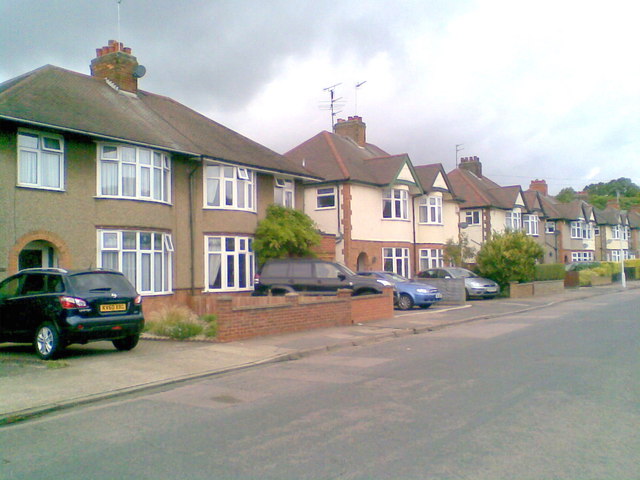
Mayfield Road
1950s and 1930s semis in Spinney Hill.
 Map © Crown Copyright")
TIP: Click the map for more Large scale mapping
- Grid Square
- SP7763, 124 images (more nearby 🔍)
- Photographer
- Burgess Von Thunen (more nearby)
- Date Taken
- Friday, 12 August, 2011 (more nearby)
- Submitted
- Friday, 12 August, 2011
- Subject Location
-
OSGB36:
 SP 7761 6307 [10m precision]
WGS84: 52:15.6199N 0:51.8591W - Camera Location
-
OSGB36: SP 7763 6305
- View Direction
- Northwest (about 315 degrees)