2011
NX0752 : South Two Mark
taken 13 years ago, near to Stoneykirk, Dumfries And Galloway, Scotland
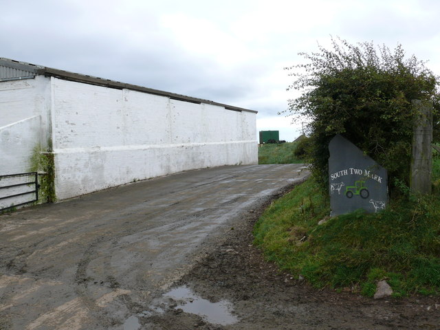
South Two Mark
View of the entrance to the farm.
 Map © Crown Copyright")
TIP: Click the map for more Large scale mapping
- Grid Square
- NX0752, 12 images (more nearby 🔍)
- Photographer
- Andy Farrington (more nearby)
- Date Taken
- Thursday, 11 August, 2011 (more nearby)
- Submitted
- Friday, 12 August, 2011
- Subject Location
-
OSGB36:
 NX 0718 5235 [10m precision]
WGS84: 54:49.7259N 5:0.2054W - Camera Location
-
OSGB36: NX 07169 52362
- View Direction
- Southeast (about 135 degrees)