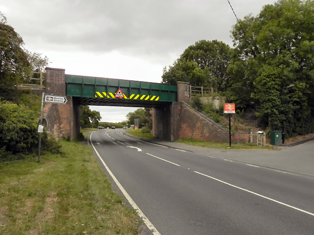
SP1760 : Railway Bridge, Bearley Cross
taken 13 years ago, near to Edstone, Warwickshire, England
The A34 is a major road which runs from the A33 and M3 at Winchester in Hampshire, to the A6 & A6042 in Salford, Greater Manchester. It forms a large part of the major trunk route from Southampton, via Oxford, to Birmingham, The Potteries and Manchester.
The road is in two sections. The northern section runs south through Manchester and Cheadle, and bypasses Handforth, Wilmslow and Alderley Edge, before passing through Congleton, Newcastle-under-Lyme, and the southern suburbs of Stoke-on-Trent. It then continues south via Stone, Stafford, Cannock and Walsall, passes through the middle of Birmingham (where it briefly merges with the A41), before meeting the M42 motorway at junction 4 south of Solihull.
The southern section begins some 50 miles (80 km) to the south, at junction 9 of the M40 motorway, 10 miles (16 km) north of Oxford. It continues south as the western part of the Oxford Ring Road, crossing the River Thames on the A34 Road Bridge. It then bypasses Abingdon, Didcot, and Newbury before finally finishing just east of Winchester, at junction 9 of the M3 motorway. This part of the A34 is dual carriageway throughout.
Together with parts of the M3 and the M40, the southern section of the A34 forms an important route carrying freight from Southampton to the Midlands. Because of the volume of traffic, bypasses were built along this route; at Newbury on the A34, and at Twyford Down near Winchester on the M3, but these were controversial for environmental reasons and were the scene of significant direct action environmental protests in the 1990s. Instead of cutting a short road tunnel through Twyford Down, the entire escarpment was carved-out and the motorway placed through it.
(abridged from Wikipedia Link)
 Map © Crown Copyright")
- Grid Square
- SP1760, 40 images (more nearby 🔍)
- Photographer
- David Dixon (more nearby)
- Date Taken
- Monday, 8 August, 2011 (more nearby)
- Submitted
- Friday, 12 August, 2011
- Subject Location
-
OSGB36:
 SP 1724 6086 [10m precision]
WGS84: 52:14.7393N 1:44.9349W - Camera Location
-
OSGB36: SP 1722 6089
- View Direction
- Southeast (about 135 degrees)