2011
SU5849 : Pardown - Basingstoke path
taken 13 years ago, near to East Oakley, Hampshire, England
This is 1 of 2 images, with title Pardown - Basingstoke path in this square
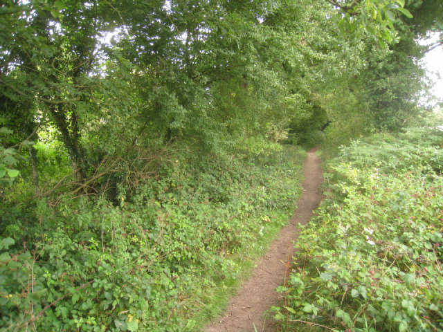
Pardown - Basingstoke path
 Map © Crown Copyright")
TIP: Click the map for more Large scale mapping
- Grid Square
- SU5849, 2114 images (more nearby 🔍)
- Photographer
- Mr Ignavy (more nearby)
- Date Taken
- Thursday, 11 August, 2011 (more nearby)
- Submitted
- Saturday, 13 August, 2011
- Subject Location
-
OSGB36:
 SU 5846 4929 [10m precision]
WGS84: 51:14.3882N 1:9.8371W - Camera Location
-
OSGB36: SU 5838 4928
- View Direction
- EAST (about 90 degrees)