2011
SH2279 : Rugged coastline at Clybyddiad
taken 13 years ago, 3 km from Trearddur, Isle of Anglesey/Sir Ynys Mon, Wales
This is 1 of 3 images, with title Rugged coastline at Clybyddiad in this square
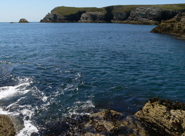
Rugged coastline at Clybyddiad
Looking southwest from the rocks of the headland at Graig Lwyd towards the headland at Dinas.
 Map © Crown Copyright")
TIP: Click the map for more Large scale mapping
- Grid Square
- SH2279, 96 images (more nearby 🔍)
- Photographer
- Mat Fascione (more nearby)
- Date Taken
- Tuesday, 28 June, 2011 (more nearby)
- Submitted
- Saturday, 13 August, 2011
- Subject Location
-
OSGB36:
 SH 2235 7942 [10m precision]
WGS84: 53:16.9143N 4:39.9705W - Camera Location
-
OSGB36: SH 2274 7953
- View Direction
- West-southwest (about 247 degrees)