2011
SN6257 : Farm road east of Comins Capel Betws, Ceredigion
taken 13 years ago, near to Capel Betws Lleucu, Ceredigion/Sir Ceredigion, Wales
This is 1 of 2 images, with title Farm road east of Comins Capel Betws, Ceredigion in this square
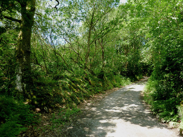
Farm road east of Comins Capel Betws, Ceredigion
The track leads only to farms at Coedmawr, Coedmawr-isaf and Penlan. Public footpaths continue northwards through fields and over the hill.
 Map © Crown Copyright")
TIP: Click the map for more Large scale mapping
- Grid Square
- SN6257, 9 images (more nearby 🔍)
- Photographer
- Roger D Kidd (more nearby)
- Date Taken
- Wednesday, 20 July, 2011 (more nearby)
- Submitted
- Sunday, 14 August, 2011
- Subject Location
-
OSGB36:
 SN 623 578 [100m precision]
WGS84: 52:12.0989N 4:0.9434W - Camera Location
-
OSGB36: SN 623 578
- View Direction
- North-northwest (about 337 degrees)