2011
NF1099 : An Lag and the ascent to the Gap, St Kilda
taken 13 years ago, near to Oisebhal [hill or Mountain], Na h-Eileanan an Iar, Great Britain
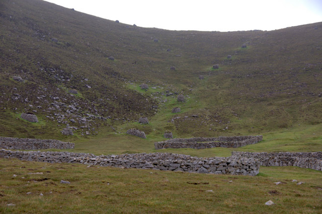
An Lag and the ascent to the Gap, St Kilda
A line of cleits marks the ascent to the Gap.
 Map © Crown Copyright")
TIP: Click the map for more Large scale mapping
- Grid Square
- NF1099, 205 images (more nearby 🔍)
- Photographer
- Mike Pennington (more nearby)
- Date Taken
- Wednesday, 27 July, 2011 (more nearby)
- Submitted
- Sunday, 14 August, 2011
- Subject Location
-
OSGB36:
 NF 1036 9957 [10m precision]
WGS84: 57:48.9188N 8:33.9507W - Camera Location
-
OSGB36: NF 1029 9950
- View Direction
- Northeast (about 45 degrees)