2011
TM1833 : Eroding Cliff detail
taken 13 years ago, near to Harkstead, Suffolk, England
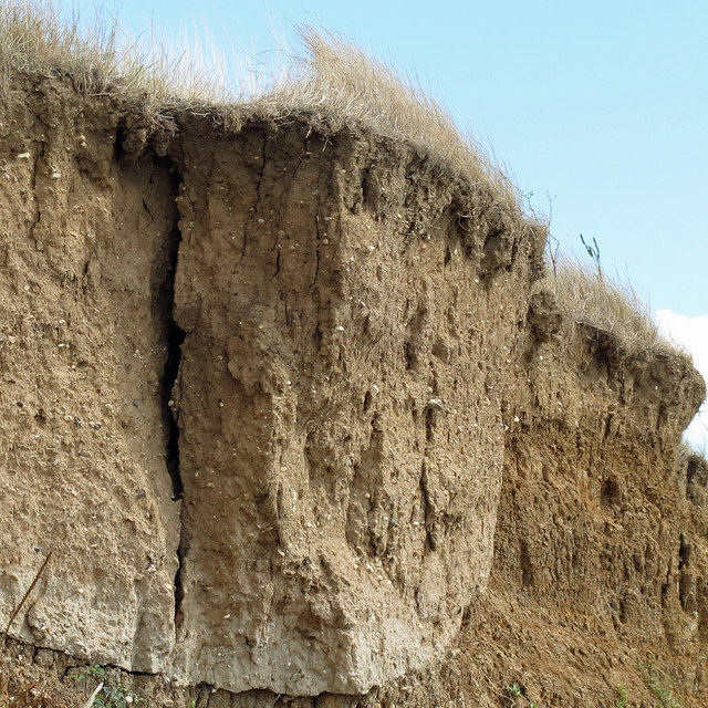
Eroding Cliff detail
A closer view of the cliffs in TM1833 : Eroding cliffs showing the fracture of this section with the bank.
 Map © Crown Copyright")
TIP: Click the map for more Large scale mapping
- Grid Square
- TM1833, 16 images (more nearby 🔍)
- Photographer
- Roger Jones (more nearby)
- Date Taken
- Sunday, 14 August, 2011 (more nearby)
- Submitted
- Sunday, 14 August, 2011
- Subject Location
-
OSGB36:
 TM 1874 3385 [10m precision]
WGS84: 51:57.6049N 1:10.9405E - Camera Location
-
OSGB36: TM 1871 3389
- View Direction
- Southeast (about 135 degrees)