2011
SN5779 : Path on Allt Wen above Tanybwlch Beach
taken 13 years ago, near to Rhydyfelin, Ceredigion/Sir Ceredigion, Wales
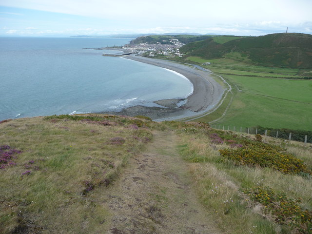
Path on Allt Wen above Tanybwlch Beach
The path is so steep that it is advisable to take a few photos on the way up.
 Map © Crown Copyright")
TIP: Click the map for more Large scale mapping
- Grid Square
- SN5779, 81 images (more nearby 🔍)
- Photographer
- Jeremy Bolwell (more nearby)
- Date Taken
- Wednesday, 17 August, 2011 (more nearby)
- Submitted
- Thursday, 18 August, 2011
- Subject Location
-
OSGB36:
 SN 5770 7940 [10m precision]
WGS84: 52:23.6442N 4:5.5627W - Camera Location
-
OSGB36: SN 5767 7935
- View Direction
- North-northeast (about 22 degrees)