2011
SS9786 : Wind farm on Mynydd Maendy
taken 13 years ago, near to Glynogwr, Bridgend/Pen-y-Bont ar Ogwr, Wales
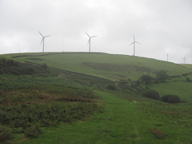
Wind farm on Mynydd Maendy
The field corner in the distance marks the eastern point of the Ogwr Ridgeway Walk, while the Ridgeway Walk continues eastwards.
 Map © Crown Copyright")
TIP: Click the map for more Large scale mapping
- Grid Square
- SS9786, 14 images (more nearby 🔍)
- Photographer
- John Light (more nearby)
- Date Taken
- Friday, 12 August, 2011 (more nearby)
- Submitted
- Thursday, 18 August, 2011
- Subject Location
-
OSGB36:
 SS 9765 8606 [10m precision]
WGS84: 51:33.8458N 3:28.6784W - Camera Location
-
OSGB36: SS 97528 86015
- View Direction
- East-northeast (about 67 degrees)