2011
SE0314 : Trig point on Cupwith Hill
taken 13 years ago, 3 km from Moselden Height, Kirklees, England
This is 1 of 2 images, with title starting with Trig point on Cupwith in this square
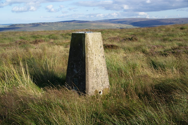
Trig point on Cupwith Hill
The background is Black Hill and the moors above Marsden.
 Map © Crown Copyright")
TIP: Click the map for more Large scale mapping
- Grid Square
- SE0314, 52 images (more nearby 🔍)
- Photographer
- Bill Boaden (more nearby)
- Date Taken
- Tuesday, 9 August, 2011 (more nearby)
- Submitted
- Friday, 19 August, 2011
- Subject Location
-
OSGB36:
 SE 0324 1407 [10m precision]
WGS84: 53:37.3895N 1:57.1493W - Camera Location
-
OSGB36: SE 0323 1409
- View Direction
- Southeast (about 135 degrees)