2011
TQ9153 : Crop field by Lone Barn Road
taken 13 years ago, near to Warren Street, Kent, England
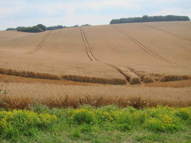
Crop field by Lone Barn Road
The field was in the process of being harvested. A combine harvester and tractor at the other end of the field.
 Map © Crown Copyright")
TIP: Click the map for more Large scale mapping
- Grid Square
- TQ9153, 12 images (more nearby 🔍)
- Photographer
- Oast House Archive (more nearby)
- Date Taken
- Friday, 19 August, 2011 (more nearby)
- Submitted
- Saturday, 20 August, 2011
- Subject Location
-
OSGB36:
 TQ 917 538 [100m precision]
WGS84: 51:15.0787N 0:44.7606E - Camera Location
-
OSGB36: TQ 917 539
- View Direction
- SOUTH (about 180 degrees)