2011
TF7235 : Fields north of Fring Road
taken 13 years ago, near to Fring, Norfolk, England
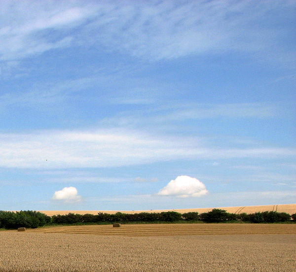
Fields north of Fring Road
The Peddars Way leads past here, this section of the long distance path linking Fring Road and Littleport, further to the north. The Peddars Way > Link follows the course of an ancient Roman road which was built shortly after the tribal revolt of AD61 led by Boudica, Queen of the Iceni. The route begins in Suffolk, runs northwards through Breckland and then joins with the Norfolk Coast Path, covering 93 miles most which suitable for horse riders and cyclists.
 Map © Crown Copyright")
TIP: Click the map for more Large scale mapping
- Grid Square
- TF7235, 33 images (more nearby 🔍)
- Photographer
- Evelyn Simak (more nearby)
- Date Taken
- Friday, 19 August, 2011 (more nearby)
- Submitted
- Saturday, 20 August, 2011
- Subject Location
-
OSGB36:
 TF 7290 3586 [10m precision]
WGS84: 52:53.5431N 0:34.1208E - Camera Location
-
OSGB36: TF 7267 3586
- View Direction
- EAST (about 90 degrees)