2011
TQ9651 : Bridleway from Stalisfield Road
taken 13 years ago, near to Charing, Kent, England
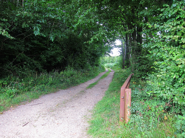
Bridleway from Stalisfield Road
Bridleway through Vine Wood.
 Map © Crown Copyright")
TIP: Click the map for more Large scale mapping
- Grid Square
- TQ9651, 14 images (more nearby 🔍)
- Photographer
- Oast House Archive (more nearby)
- Date Taken
- Friday, 19 August, 2011 (more nearby)
- Submitted
- Sunday, 21 August, 2011
- Subject Location
-
OSGB36:
 TQ 966 511 [100m precision]
WGS84: 51:13.5405N 0:48.8545E - Camera Location
-
OSGB36: TQ 965 511
- View Direction
- North-northeast (about 22 degrees)