2011
NN6836 : Loch Tay and farmland
taken 13 years ago, near to Ardeonaig, Stirling, Scotland
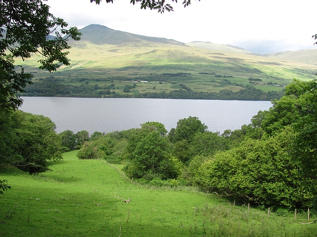
Loch Tay and farmland
Field beside the Allt a' Mheinn on the south side of Loch Tay.
 Map © Crown Copyright")
TIP: Click the map for more Large scale mapping
- Grid Square
- NN6836, 14 images (more nearby 🔍)
- Photographer
- Richard Webb (more nearby)
- Date Taken
- Monday, 15 August, 2011 (more nearby)
- Submitted
- Sunday, 21 August, 2011
- Subject Location
-
OSGB36:
 NN 6819 3675 [10m precision]
WGS84: 56:30.2578N 4:8.5879W - Camera Location
-
OSGB36: NN 6824 3671
- View Direction
- Northwest (about 315 degrees)