2011
TQ0220 : Bridleway 709 in The Quells
taken 13 years ago, near to Stopham, West Sussex, England
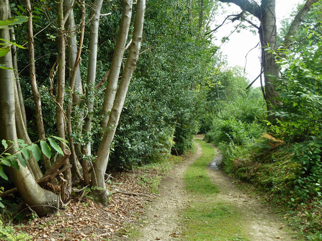
Bridleway 709 in The Quells
Along the track the woodland is mainly chestnut. The right of the track has been coppiced not so long ago.
 Map © Crown Copyright")
TIP: Click the map for more Large scale mapping
- Grid Square
- TQ0220, 27 images (more nearby 🔍)
- Photographer
- Robin Webster (more nearby)
- Date Taken
- Sunday, 21 August, 2011 (more nearby)
- Submitted
- Sunday, 21 August, 2011
- Subject Location
-
OSGB36:
 TQ 0299 2094 [10m precision]
WGS84: 50:58.7202N 0:32.0596W - Camera Location
-
OSGB36: TQ 02983 20971
- View Direction
- South-southeast (about 157 degrees)