2011
TL3566 : Buckingway Road
taken 13 years ago, near to Swavesey, Cambridgeshire, England
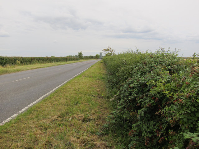
Buckingway Road
Link between Swavesey and the A14.
 Map © Crown Copyright")
TIP: Click the map for more Large scale mapping
- Grid Square
- TL3566, 26 images (more nearby 🔍)
- Photographer
- Hugh Venables (more nearby)
- Date Taken
- Monday, 15 August, 2011 (more nearby)
- Submitted
- Monday, 22 August, 2011
- Subject Location
-
OSGB36:
 TL 3595 6663 [10m precision]
WGS84: 52:16.8605N 0:0.5135W - Camera Location
-
OSGB36: TL 3598 6667
- View Direction
- Southwest (about 225 degrees)