2011
SO2380 : Head of the valley
taken 13 years ago, near to Newcastle, Shropshire, England
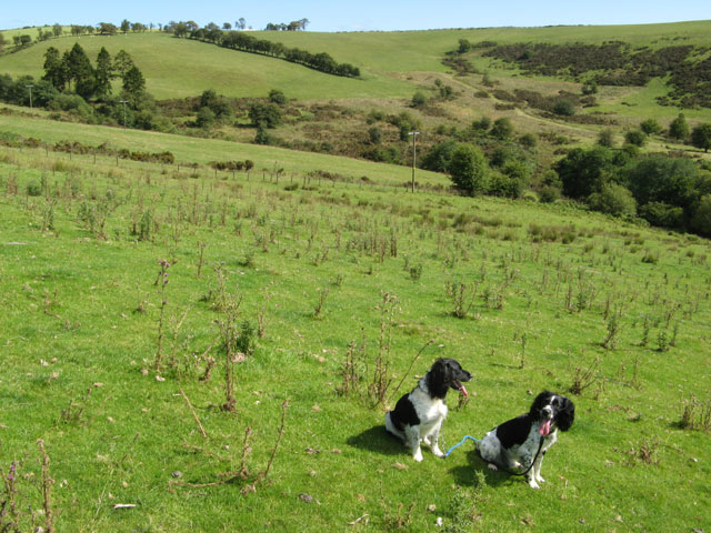
Head of the valley
Looking down onto the wetland near to the head of the Crochen Brook, which almost reaches Stoney Pound. The form of the plateau with its deeply-incised valleys is easily appreciated from this altitude. Apart from a gate to aim for on the road above there is no marking for the bridleway on this stretch.
 Map © Crown Copyright")
TIP: Click the map for more Large scale mapping
- Grid Square
- SO2380, 11 images (more nearby 🔍)
- Photographer
- Jonathan Wilkins (more nearby)
- Date Taken
- Sunday, 21 August, 2011 (more nearby)
- Submitted
- Monday, 22 August, 2011
- Subject Location
-
OSGB36:
 SO 2395 8028 [10m precision]
WGS84: 52:24.9125N 3:7.1742W - Camera Location
-
OSGB36: SO 2379 8024
- View Direction
- East-northeast (about 67 degrees)