2011
ST5971 : Whitehouse Lane
taken 13 years ago, near to Bristol, England
This is 1 of 3 images, with title starting with Whitehouse in this square
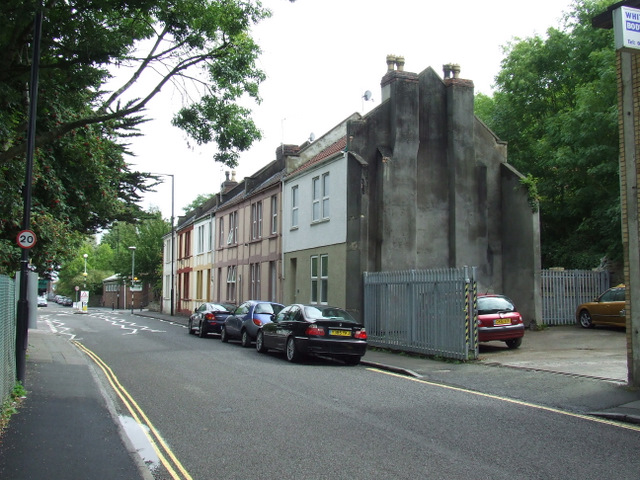
Whitehouse Lane
Houses at the junction with Philip Street.
 Map © Crown Copyright")
TIP: Click the map for more Large scale mapping
- Grid Square
- ST5971, 523 images (more nearby 🔍)
- Photographer
- Thomas Nugent (more nearby)
- Date Taken
- Tuesday, 16 August, 2011 (more nearby)
- Submitted
- Wednesday, 24 August, 2011
- Subject Location
-
OSGB36:
 ST 590 715 [100m precision]
WGS84: 51:26.5085N 2:35.4776W - Camera Location
-
OSGB36: ST 589 715
- View Direction
- East-northeast (about 67 degrees)