2011
NF7129 : Sands at Croic a Deas
taken 13 years ago, near to Bornais, South Uist & Benbecula, Na h-Eileanan an Iar, Scotland
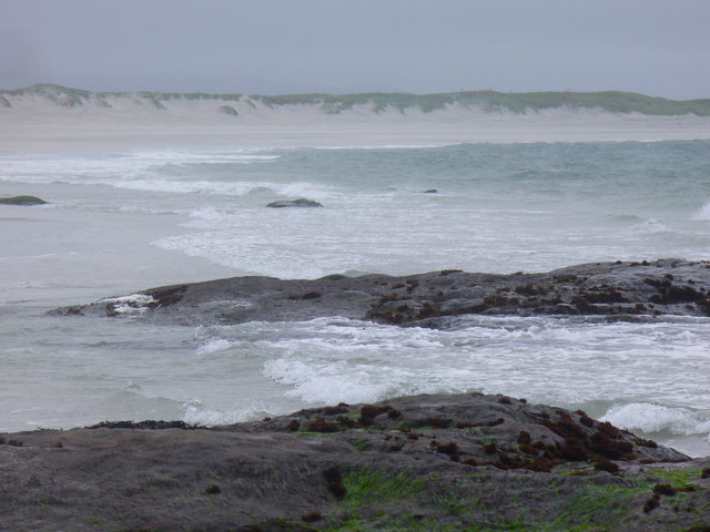
Sands at Croic a Deas
 Map © Crown Copyright")
TIP: Click the map for more Large scale mapping
- Grid Square
- NF7129, 31 images (more nearby 🔍)
- Photographer
- Colin Smith (more nearby)
- Date Taken
- Monday, 18 July, 2011 (more nearby)
- Submitted
- Thursday, 25 August, 2011
- Subject Location
-
OSGB36:
 NF 7185 2943 [10m precision]
WGS84: 57:14.2480N 7:26.4829W - Camera Location
-
OSGB36: NF 7183 2945
- View Direction
- Southeast (about 135 degrees)