2011
SU8815 : Wheat field on the edge of Singleton Forest
taken 13 years ago, near to Charlton, West Sussex, England
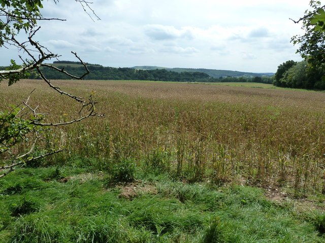
Wheat field on the edge of Singleton Forest
 Map © Crown Copyright")
TIP: Click the map for more Large scale mapping
- Grid Square
- SU8815, 15 images (more nearby 🔍)
- Photographer
- Dave Spicer (more nearby)
- Date Taken
- Sunday, 21 August, 2011 (more nearby)
- Submitted
- Thursday, 25 August, 2011
- Subject Location
-
OSGB36:
 SU 8841 1505 [10m precision]
WGS84: 50:55.6883N 0:44.6030W - Camera Location
-
OSGB36: SU 8849 1511
- View Direction
- Southwest (about 225 degrees)