2011
TL3973 : Long Holme Drove
taken 13 years ago, near to Earith, Cambridgeshire, England
This is 1 of 2 images, with title Long Holme Drove in this square
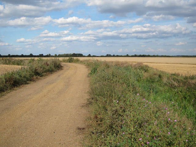
Long Holme Drove
With a wheat field off to the right being harvested.
 Map © Crown Copyright")
TIP: Click the map for more Large scale mapping
- Grid Square
- TL3973, 23 images (more nearby 🔍)
- Photographer
- Hugh Venables (more nearby)
- Date Taken
- Wednesday, 24 August, 2011 (more nearby)
- Submitted
- Thursday, 25 August, 2011
- Subject Location
-
OSGB36:
 TL 3907 7355 [10m precision]
WGS84: 52:20.5441N 0:2.4002E - Camera Location
-
OSGB36: TL 3904 7352
- View Direction
- Northeast (about 45 degrees)