2011
SD7283 : Benchmark on gatepost at Gastack Beck Bottom
taken 13 years ago, near to Deepdale, Cumbria, England
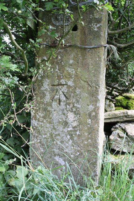
Benchmark on gatepost at Gastack Beck Bottom
Ordnance Survey cut mark benchmark described on the Bench Mark Database at Link
 Map © Crown Copyright")
TIP: Click the map for more Large scale mapping
- Grid Square
- SD7283, 28 images (more nearby 🔍)
- Photographer
- Roger Templeman (more nearby)
- Date Taken
- Wednesday, 3 August, 2011 (more nearby)
- Submitted
- Friday, 26 August, 2011
- Subject Location
-
OSGB36:
 SD 7223 8359 [10m precision]
WGS84: 54:14.8342N 2:25.6600W - Camera Location
-
OSGB36: SD 7223 8359
- View Direction
- Northeast (about 45 degrees)