2011
SD1578 : Haverigg Dunes
taken 13 years ago, near to Haverigg, Cumbria, England
This is 1 of 8 images, with title starting with Haverigg in this square
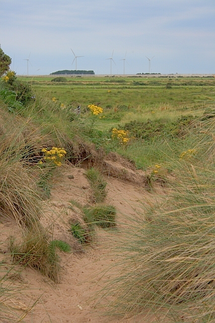
Haverigg Dunes
Looking towards the prison and windfarm.
 Map © Crown Copyright")
TIP: Click the map for more Large scale mapping
- Grid Square
- SD1578, 61 images (more nearby 🔍)
- Photographer
- Mick Garratt (more nearby)
- Date Taken
- Tuesday, 23 August, 2011 (more nearby)
- Submitted
- Friday, 26 August, 2011
- Subject Location
-
OSGB36:
 SD 1507 7809 [10m precision]
WGS84: 54:11.4909N 3:18.1882W - Camera Location
-
OSGB36: SD 1507 7809
- View Direction
- Northwest (about 315 degrees)