2011
NN2783 : View across grazing land to forestry edge
taken 13 years ago, near to Bohuntine, Highland, Scotland
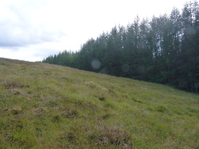
View across grazing land to forestry edge
On slopes of Meall Dubh
 Map © Crown Copyright")
TIP: Click the map for more Large scale mapping
- Grid Square
- NN2783, 3 images (more nearby 🔍)
- Photographer
- Phillip Williams (more nearby)
- Date Taken
- Saturday, 27 August, 2011 (more nearby)
- Submitted
- Saturday, 27 August, 2011
- Subject Location
-
OSGB36:
 NN 2796 8390 [10m precision]
WGS84: 56:54.8626N 4:49.6530W - Camera Location
-
OSGB36: NN 2793 8396
- View Direction
- South-southeast (about 157 degrees)