2011
TQ4657 : Field east of Stoneings Lane
taken 13 years ago, near to Knockholt, Kent, England
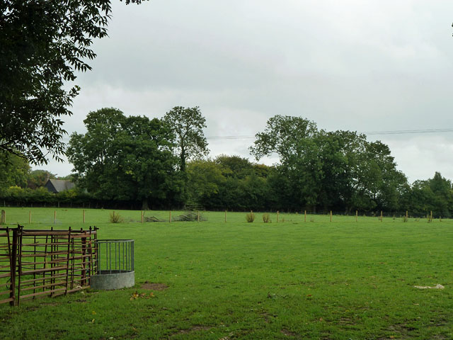
Field east of Stoneings Lane
There was equipment probably for sheep in the field, but no livestock could be seen.
 Map © Crown Copyright")
TIP: Click the map for more Large scale mapping
- Grid Square
- TQ4657, 58 images (more nearby 🔍)
- Photographer
- Robin Webster (more nearby)
- Date Taken
- Saturday, 27 August, 2011 (more nearby)
- Submitted
- Saturday, 27 August, 2011
- Subject Location
-
OSGB36:
 TQ 4617 5778 [10m precision]
WGS84: 51:18.0231N 0:5.7191E - Camera Location
-
OSGB36: TQ 46060 57814
- View Direction
- East-southeast (about 112 degrees)