2011
NN8900 : Path under Ben Ever
taken 13 years ago, 3 km from Alva, Clackmannanshire, Scotland
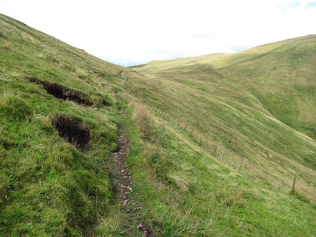
Path under Ben Ever
A narrow and muddy path traverses under Ben Ever.
 Map © Crown Copyright")
TIP: Click the map for more Large scale mapping
- Grid Square
- NN8900, 32 images (more nearby 🔍)
- Photographer
- Richard Webb (more nearby)
- Date Taken
- Saturday, 27 August, 2011 (more nearby)
- Submitted
- Wednesday, 31 August, 2011
- Subject Location
-
OSGB36:
 NN 8949 0001 [10m precision]
WGS84: 56:10.7920N 3:46.9097W - Camera Location
-
OSGB36: NS 8951 9994
- View Direction
- North-northwest (about 337 degrees)