2011
NN9002 : Burnfoot Hill
taken 13 years ago, near to Grodwell Burn [water Feature], Clackmannanshire, Great Britain
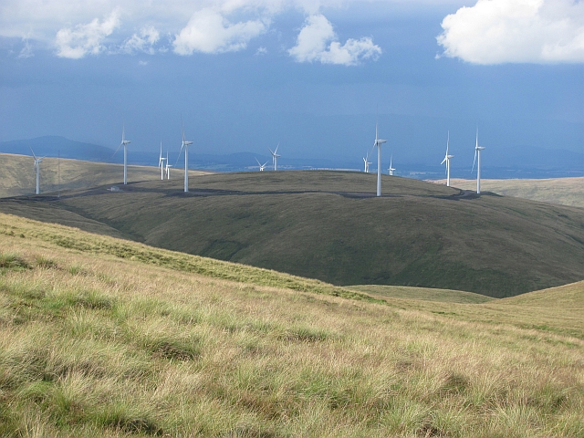
Burnfoot Hill
An obscenity.
 Map © Crown Copyright")
TIP: Click the map for more Large scale mapping
- Grid Square
- NN9002, 7 images (more nearby 🔍)
- Photographer
- Richard Webb (more nearby)
- Date Taken
- Saturday, 27 August, 2011 (more nearby)
- Submitted
- Wednesday, 31 August, 2011
- Subject Location
-
OSGB36:
 NN 9048 0235 [10m precision]
WGS84: 56:12.0665N 3:46.0112W - Camera Location
-
OSGB36: NN 9104 0044
- View Direction
- North-northwest (about 337 degrees)