2011
TQ0765 : Footbridge to D'Oyly Carte Island
taken 13 years ago, near to Weybridge, Surrey, England
This is 1 of 2 images, with title Footbridge to D'Oyly Carte Island in this square
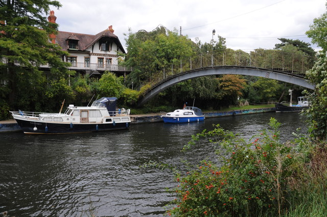
Footbridge to D'Oyly Carte Island
Footbridge over the River Thames to D'Oyly Carte Island.
 Map © Crown Copyright")
TIP: Click the map for more Large scale mapping
- Grid Square
- TQ0765, 229 images (more nearby 🔍)
- Photographer
- Philip Halling (more nearby)
- Date Taken
- Monday, 29 August, 2011 (more nearby)
- Submitted
- Thursday, 1 September, 2011
- Subject Location
-
OSGB36:
 TQ 0764 6596 [10m precision]
WGS84: 51:22.9495N 0:27.2785W - Camera Location
-
OSGB36: TQ 0763 6594
- View Direction
- North-northeast (about 22 degrees)